
|
(September 2000) Benton Harbor, MI. Standard Michigan interstate signs no longer carry the state name. Michigan marks alternate EMERGENCY interstate routes for ambulances and fire trucks in case the main route is blocked for some reason. |
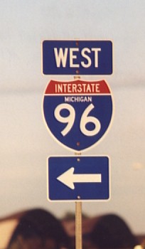 |
Older Michigan interstate sign with the state name. Michigan began phasing these out during the 1980's (Photo by Joe Koehler). |
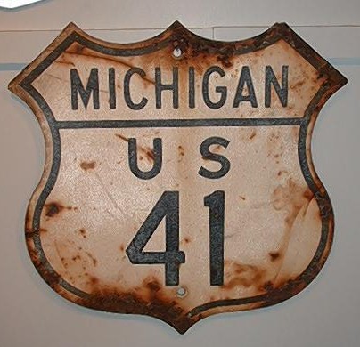 |
Older steel US 41 cutout sign from Michigan. This sign is not reflectorized. Cutouts can still be found around Michigan, but they're getting increasingly scarce. (Sign and photo from Rich Carlson) |
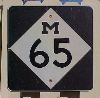 |
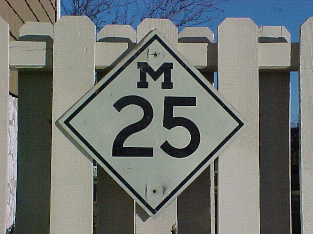
Current Michigan highway sign. Michigan routes are refered to "M" routes because of the M at the top of the sign. This road would be referred to as M-65. (My collection) |
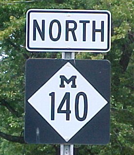 |
(September 2000) Watervliet, MI. Three-digit signs simply use a condensed font. |
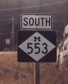 |
Marquette, MI. The only route in Michigan using an extended 36" shield is M-553 which is a short route connecting Marquette to the airport. (Phote by Joe Koehler) |
 |
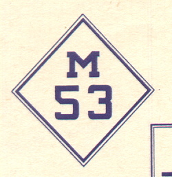
Older style Michigan route marker. This aluminum sign probably dates back to the early 60's as it has a Scotchlite background. (My collection) |
 |
This image was scanned from the 1931 Michigan Official Highway Map. As you can see, Michigan has used the diamond and the block "M" since the beginning. Signs in the early Rand McNally Road Atlases show the logo "STATE TRUNK HIGHWAY" just below the "M", but it is unknown right now whether signs actually bore that logo. (Map from my collection) |
 |
(September 2000) Around 1970, MDOT marked more important county highways throughout the state with these pentagonal markers. These county roads can cross county lines and retain the same number. The letter signifies the geographic region. A-C routes are along the west side of the lower peninsula from south to north. D-F routes are along the east side of the lower peninsula from south to north. G and H are used in the upper peninsula. Also included on this assembly is the Lake Michigan Circle Tour sign. |
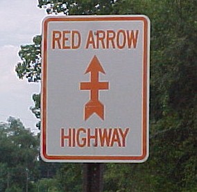 |
(September 2000) Benton Harbor, MI. The Red Arrow Highway follows along the old routing of US-12. What is currently US-12 used to be US-112 which was decommissioned after I-94 was completed. The highway commemorates the Red Arrow 32nd Brigade during World War II. This Red Arrow Highway marker has faded a little - now it's the "Orange Arrow Highway"? |